Scottish Deer Management
Services to land managers
| Home Page |
| Landowners |
| |
| |
| |
| |
| |
| |
| Stalkers |
| News |
| Contact Us |

|
|
Professional
Deer Management Planning
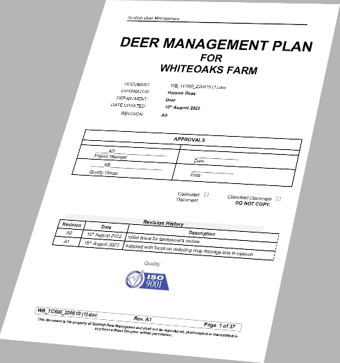
When we meet with you we will ask you to confirm land boundaries, access and any hazards. We will then do a deer survey. We use high resolution thermal imaging to determine the number of deer in an area: this technology allows us to see deer hidden by undergrowth and foliage. The resolution is sufficient to determine their species, sex and approximate age. We use trail cameras at key locations to understand their movement patterns and health. We apply Best Practice in the form of the Woodland Herbivore Assessment Process to assess damage to forestry: click here for more information. Again, all visits to your land are advised in advance by email, including the visitor's name and photograph. Anyone visiting you carries a photo ID we issue that you can request at any time. The survey produces a Deer Management Report, that provides proof you are managing your responsibilities professionally, and supports grant applications that may assist you with your land stewardship. The report is at zero cost to you: we need to do the study and report in order to deliver our responsibilities to you. The report is evidence that you are managing your environment responsibly. |
 |